New Volcanic Eruption in Iceland
Martin Sammtleben, 11. July 2023
After continuous earthquakes a fissure eruption started on the Reykjanes Peninsula, 10 July. Here is a fantastic drone video taken by Isak Finnbogason after sunset.
Martin Sammtleben, 11. July 2023
After continuous earthquakes a fissure eruption started on the Reykjanes Peninsula, 10 July. Here is a fantastic drone video taken by Isak Finnbogason after sunset.
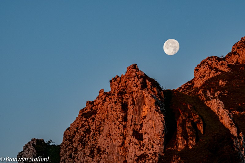
Martin Sammtleben, 2. January 2023
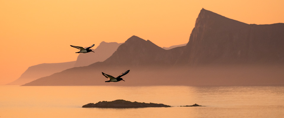
The Northern Lights or Aurora Borealis with their changing shapes and colours have fascinated people through the ages. They’re an electromagnetic phenomenon caused by the sun storm entering the earth’s upper atmosphere and magnetic field.
Luckily capturing the aurora has become a lot easier with todays cameras, that have increasingly better low-light performance. Here are few tips in brief…
Much more information on aurora photography can be found in our free iBook A Guide to Photographing the Northern Lights. If you own an Apple iPad or a Mac, check it out!
If this has sparked your interest, why not join us on one of our northern lights tours in either Iceland , Norway or Greenland
Martin Sammtleben, 1. January 2023
“A Guide to Photographing the Northern Lights” is a free iBook for iPad and Mac owners.
Important: you need to use Safari to download the book directly onto your iPad. Other browsers won’t know how to handle the book. Depending on the speed of your internet connection this can take a couple of minutes or longer. Once the download is complete you will be prompted to open the book in the Books application.

Martin Sammtleben, 10. October 2019
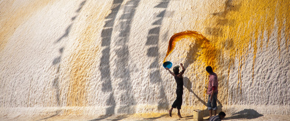
Drawing on 20 years of visiting this north western region of India, this short film highlights some of the landscapes, culture and people of Ladakh as part of a Wild Photography Holidays expedition. This one of 5 different trips currently running.
Paul works with Wild Photography Holidays as a photographic tutor in Iceland, India and Greenland.


Martin Sammtleben, 1. August 2019
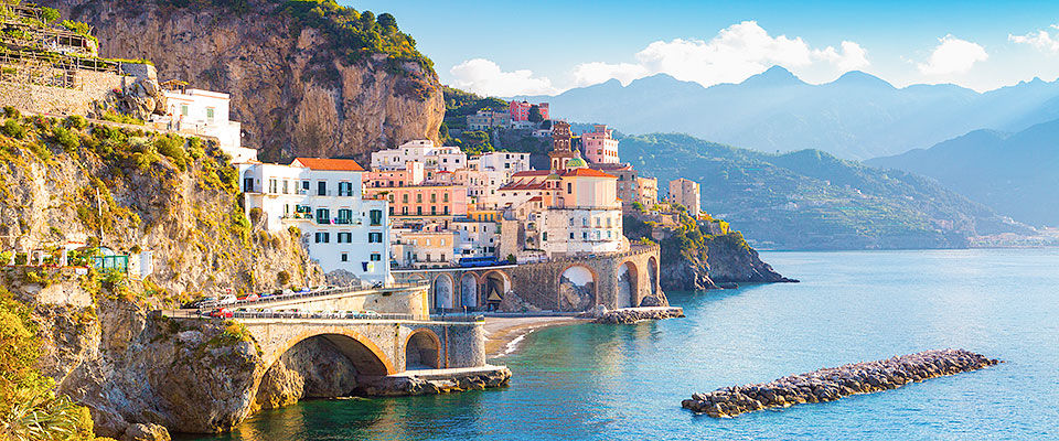
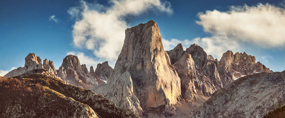
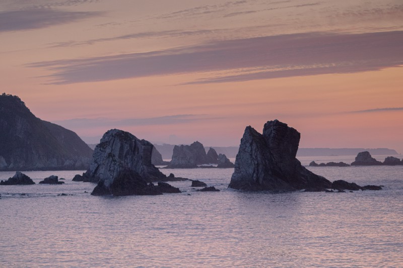
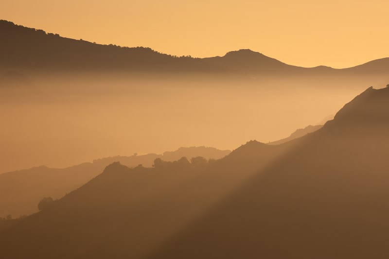
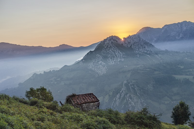
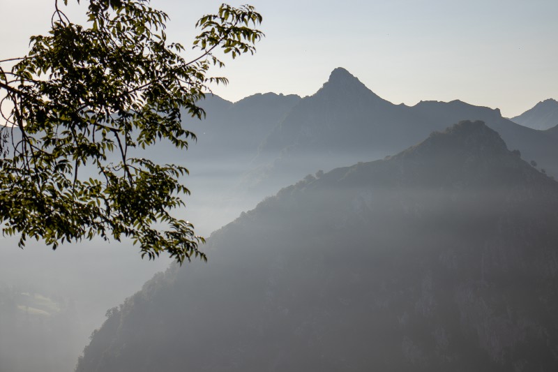
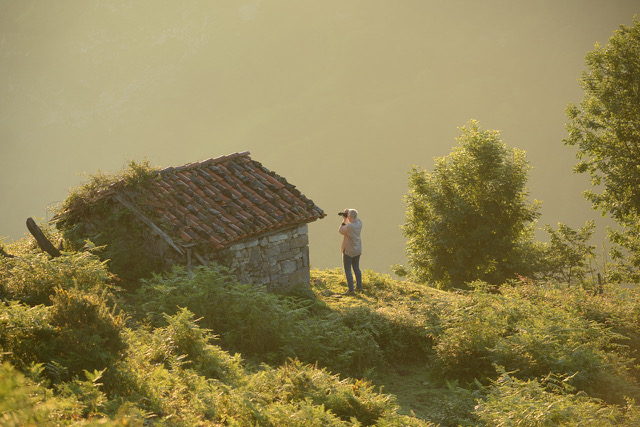
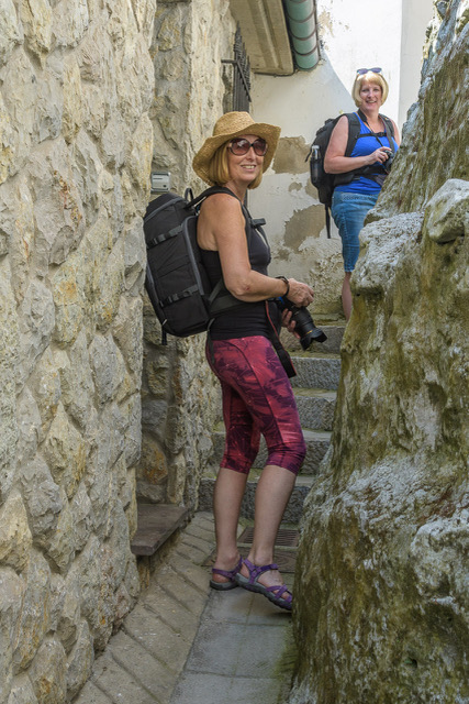
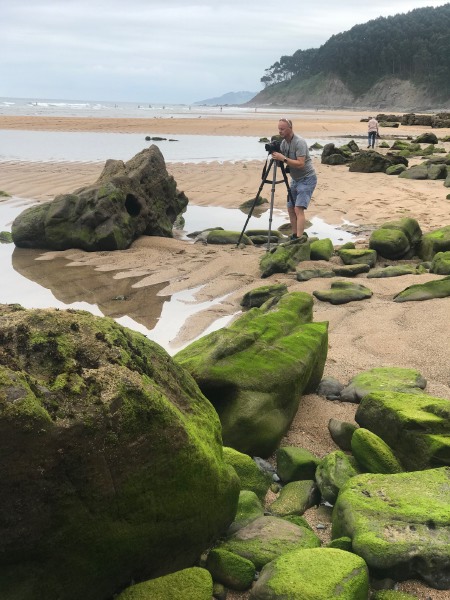
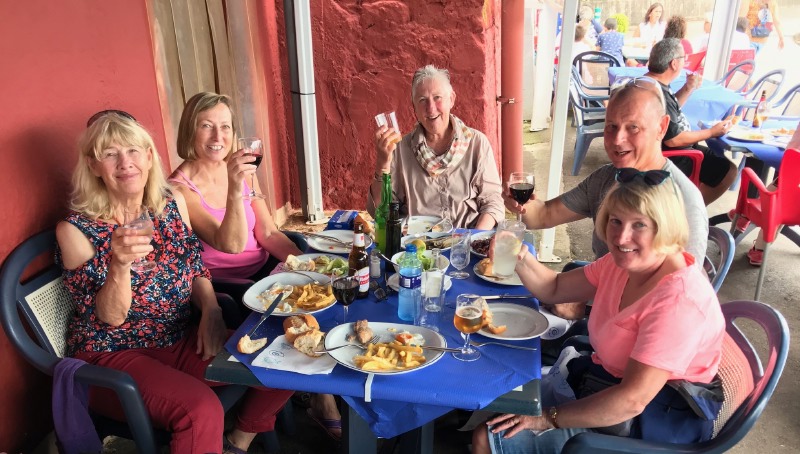
We have just run our first home based workshop in Northern Spain. Over the four days we managed to cover some lovely seascapes, wander around quaint villages with a great deal of input for our guests individual requirements both at base and in the field. The food, both home cooked or in local restaurants, was yummy and washed down with some excellent local wine and cider!
Both Martin and myself really enjoyed the flexibility of working intensively with just four guests so we have decided that we’ll do it again next year, take a look online for the dates:
Sea & Landscapes of Northern Spain Photographic Intensive
Geraldine Westrupp, 21. February 2017
Iceland from phpProductions on Vimeo.
Take a peek at Paul’s latest video showing what we get up to on our Iceland Winter Workshops, a veritable fest of ice caves, glaciers, waterfalls, black sands and sparkling sea washed ice!
Paul works with Wild Photography Holidays as a photographic tutor in Iceland. He also leads our fabulous Ladakh Expedition